Nine aerial photos of Mishicot, Wisconsin shot circa 1980s.
Main Street and State Street, facing southwest.
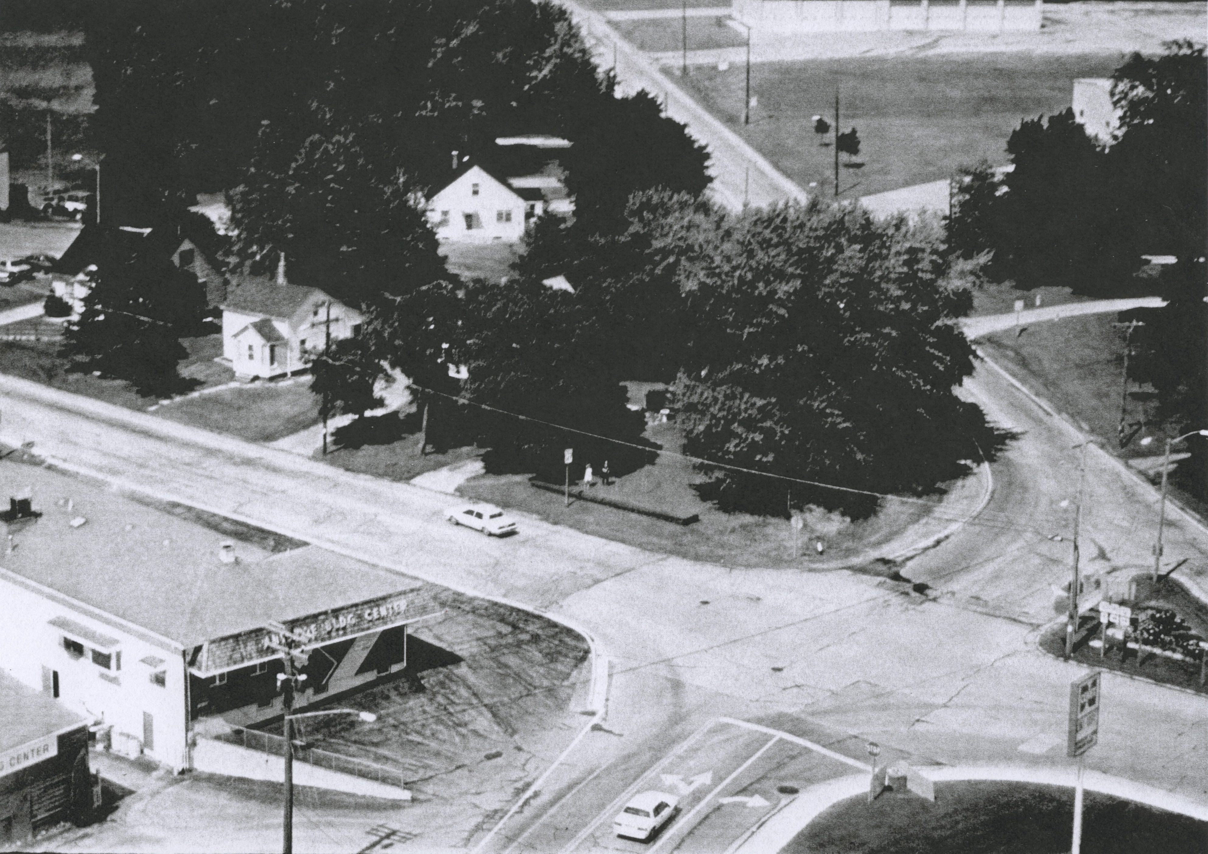
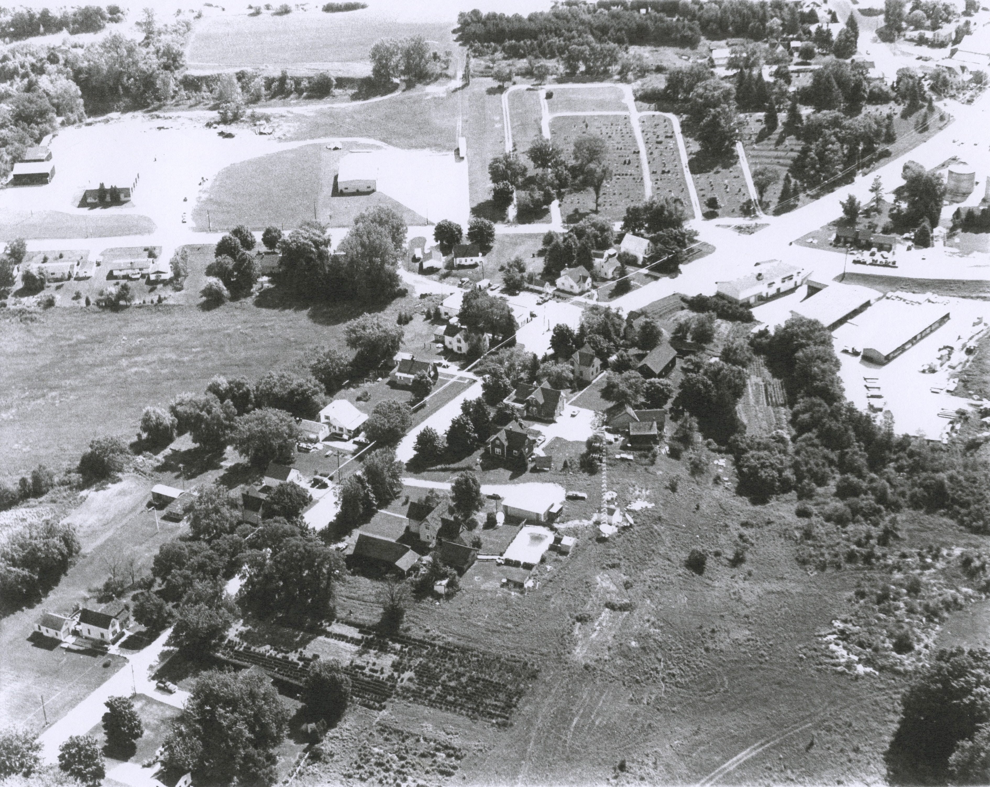
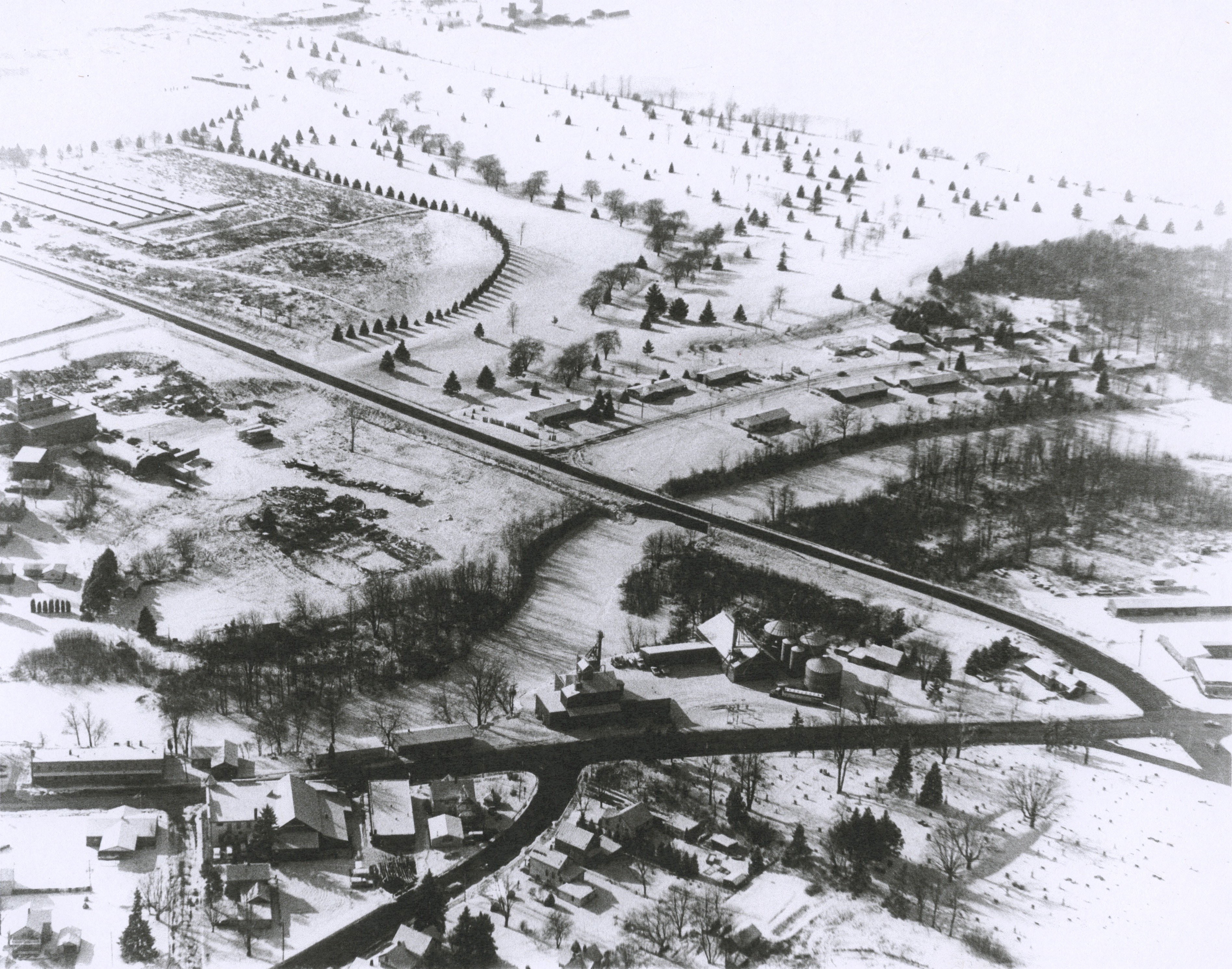
Photo 1: Main Street and State Street, facing north.
Photo 2: West Main Street, facing east.


Photo 1: Oak Street, facing north.
Photo 2: Elizabeth Street and Maple Street, facing south.


Photo 1: Rockway Street, facing south.
Photo 2: Steiner’s Corners (top left), facing west.
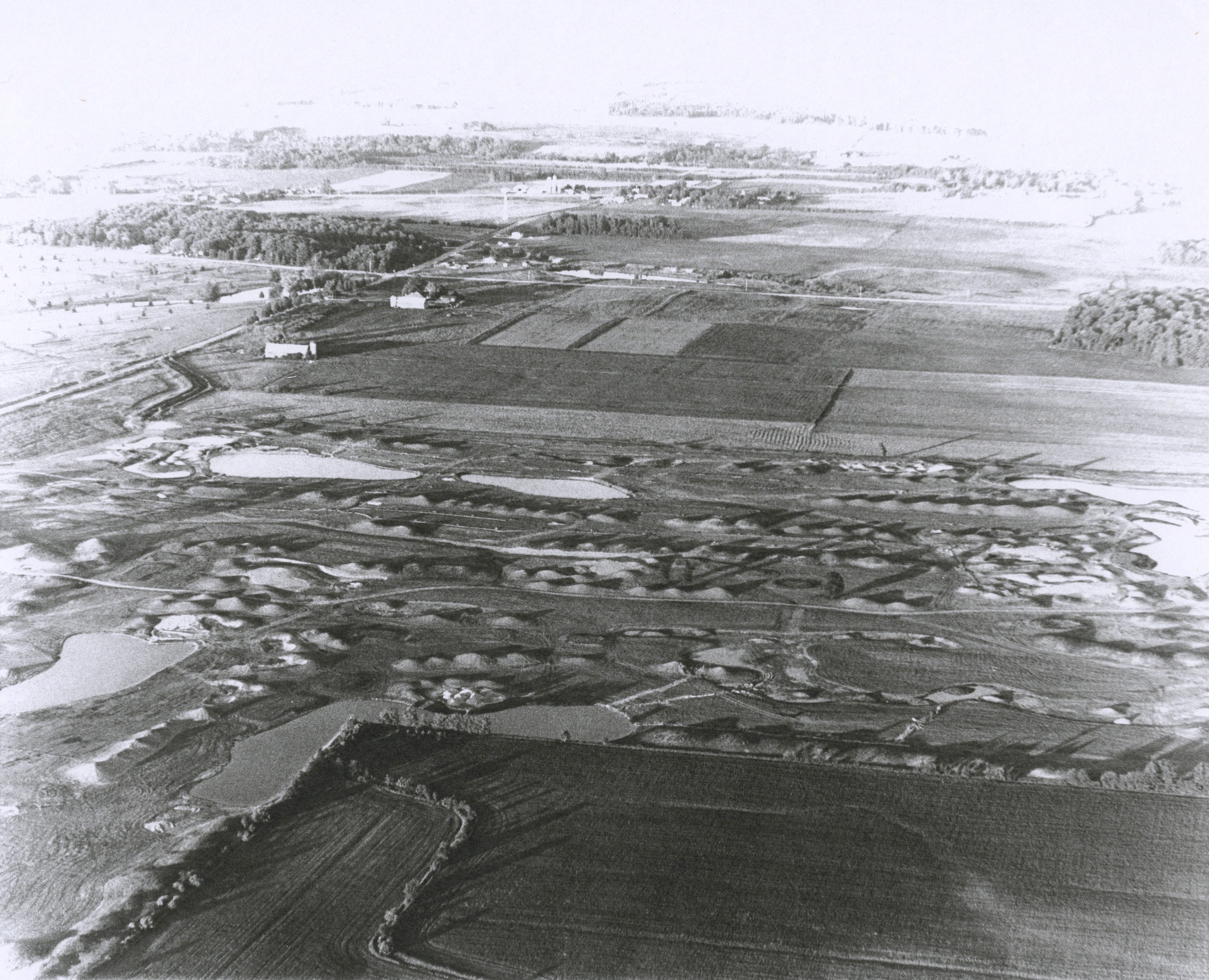

Photo 1: Fox Hills Resort and Samz Road, facing east.
Photo 2: Samz Road and Cherney Road, facing west.
Tags: 147, aerial, fox hills, main street, riverwood drive, samz road, cemetery, main street, oak street, princl hill, village park, steiner drive, steiner’s corners, cherney road, mink ranch, sandy bay
Download high resolution copies of these items on archive.org.
Know more about these items? Contact the museum.
